Aconcagua - Part 1
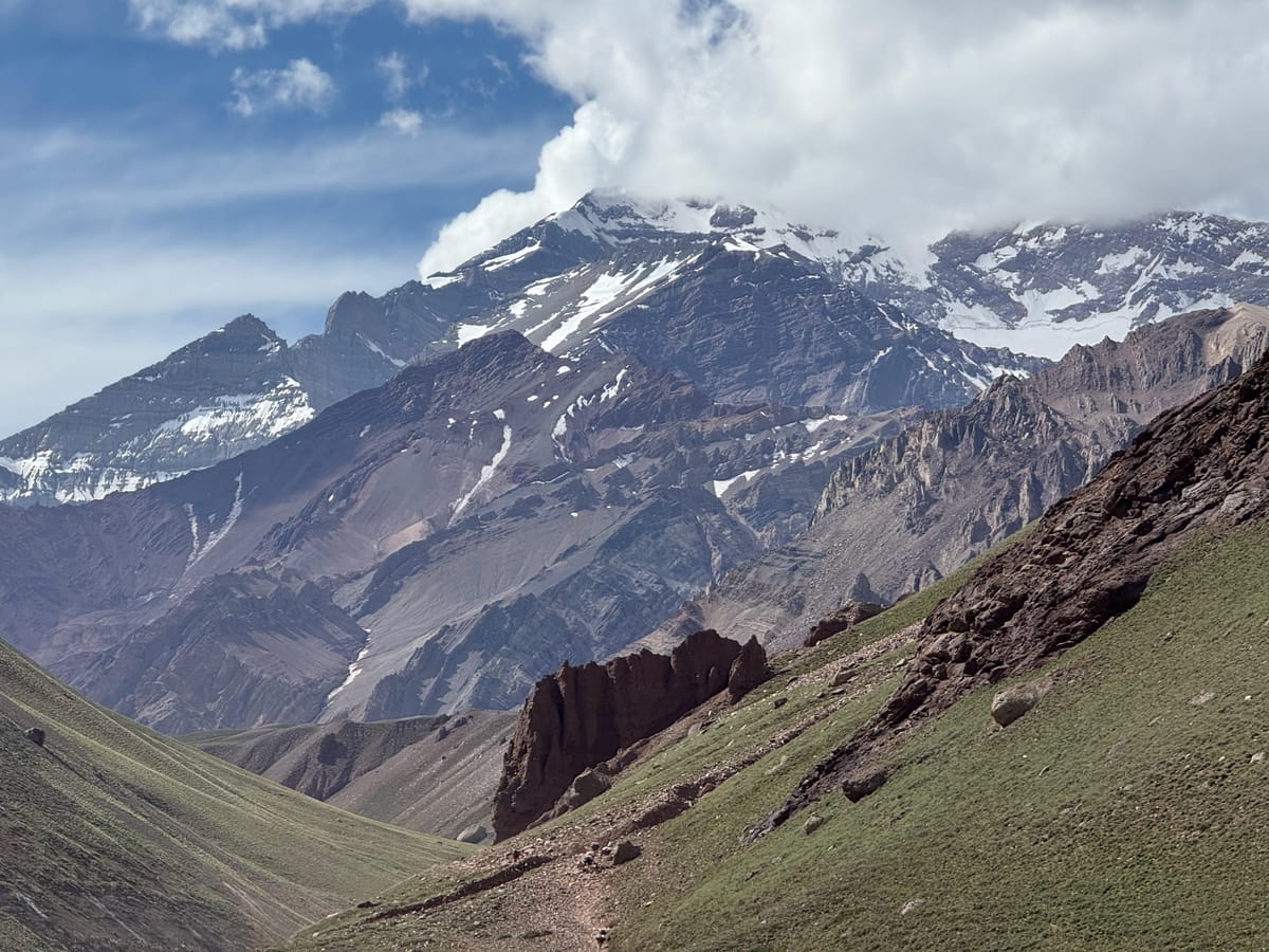
"The reports of the various parties who have battled their way to its summit are unanimous... it is one of the most unattractive mountains imaginable." - James Ramsey Ullman, first American to summit Aconcagua
James Ramsey Ullman did Aconcagua dirty. Although it's no Matterhorn, Aconcagua - whose name derives from Quechua for either Stone Sentinel or White Sentinel - is an imposing beast of a mountain, reaching 22,837' above sea level. It is the tallest mountain in the Americas and the tallest outside of Asia. Over about 19 days in November and December 2024, I climbed it with a stellar team organized by Alpine Ascents International.
This blog post is part one of four detailing this Aconcagua expedition. It will cover our trip from Mendoza to Aconcagua Provincial Park and the three-day trek to Base Camp up the Vacas Valley. Subsequent posts will cover the ascent from Base Camp to Camp 3, Summit Day, and the descent and hike out of Aconcagua Provincial Park.
Aconcagua sits in the Andes Mountains, about 10 miles east of the Argentina-Chile border. While most people climb Aconcagua via the Normal Route, I chose the less-traveled Vacas Valley route for a quieter, more gradual approach. With the Vacas Valley Route you also get to see more of the mountain, though you also have to carry significantly more weight, as there is less porter support than the Normal Route. (See the YouTube clip below for a great visual.)
Mendoza to Puquios
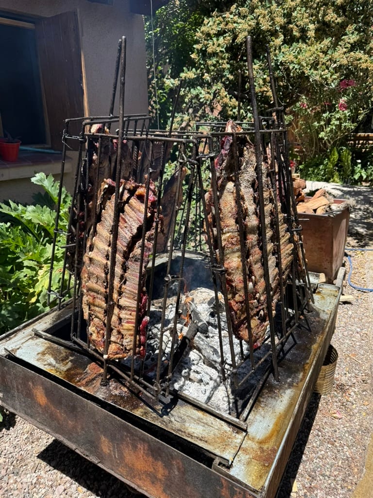
Our expedition began with a gear check and welcome dinner in Mendoza. The following day, we departed the Mendoza at 11 a.m., stopping about 90 minutes later in Potrerillos, where we had a delicious parrilla at La Escondida Restaurant. Parrillas – Argentine barbecue – include various cuts of beef, including ojo de bife (ribeye), bife de chorizo (sirloin), lomo (tenderloin) as well as flank steak, skirt steak, short ribs, and various sausages. These meals would often take upwards of two hours and were a fixture of our trip, excluding the upper mountain.
After our leisurely lunch in Potrerillos, we hopped back in the van, and followed the winding Rio Mendoza as it snaked through the mountains towards Aconcagua.
Finally, at around 5 p.m., we arrived at Los Puquios, a ranch used as an expedition staging area. We turned over our expedition duffels, which would be strapped onto mules for the trek up the Vacas Valley the following day.
Arrieros (ranchers) are an integral part of Aconcagua expeditions, as they help shuttle food as well as team and personal gear up the valley towards Base Camp, allowing climbers to carry daypacks for the first few days of the expedition.
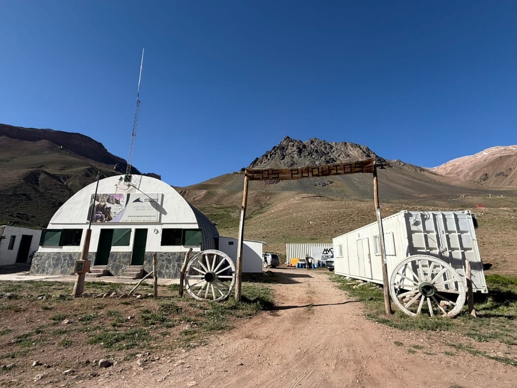
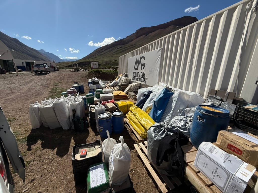
Entrance to Los Puquios and expedition gear staging area
After dropping off our gear, we drove down to a military installation where we spent our final night before the trek. In past years, expeditions have stayed at a small hotel in the area, but it has since closed. Word is a new hotel will be ready by the 2025-2026 season.
I struggled to sleep that night due to excitement and a severe cold I caught on my flights from Washington, DC to Mendoza. I felt horrible that my teammates had to endure my coughing and sneezing all night, though they insisted it wasn't that bad, likening my breathing to Darth Vader's. This would be a recurring issue for the next several days.
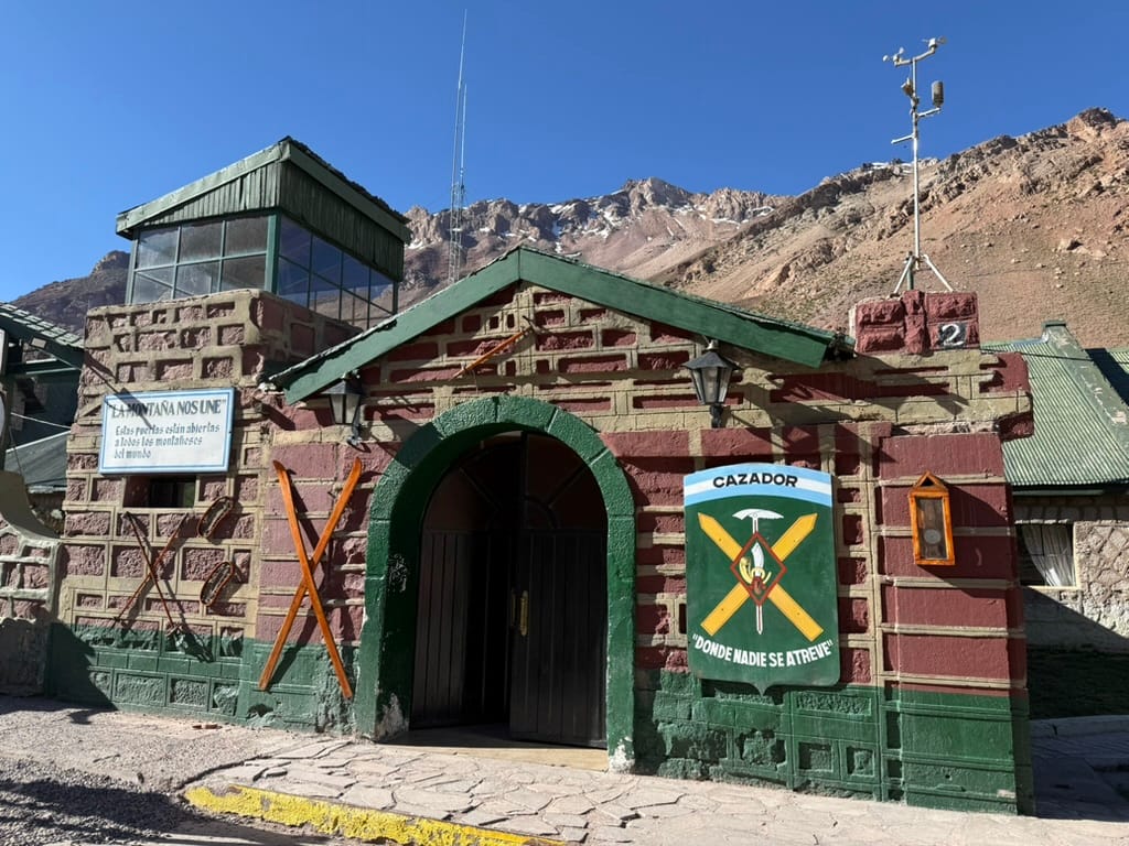
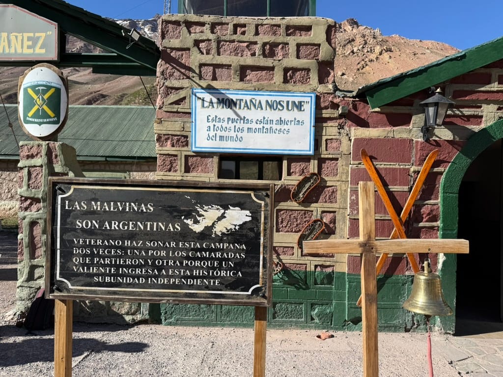
The military installation/hotel
Day 1 – Puquios to Pampa de Leñas
- Starting Altitude = 7,913'
- Ending Altitude = 9,412'
- Net Gain = 1,499'
- Distance = 8.7 miles
After breakfast at the military installation, we set out for Pampa de Leñas, our first campsite. We arrived after about five hours of hiking and a 45 minute pause for lunch. After another parrilla, consisting of flank steak, ribs, tomato and avocado salad, and eggplant, the team went to bed in one of Aconcagua Mountain Guide’s semi-permanent domes. (My expedition was run by Alpine Ascents International, but Aconcagua Mountain Guides (AMG) is a sister company, and they use the same infrastructure.)
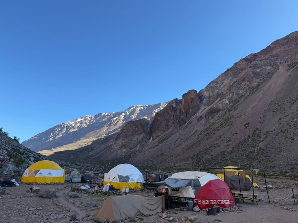
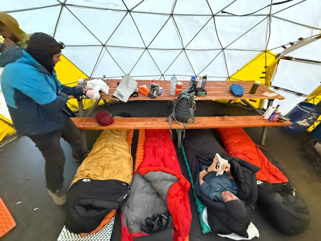
Pampa de Leñas and our dome sleeping arrangement
These semi-permanent domes are typically reserved for eating and hanging out, but with our small team size we were all able to sleep inside and avoid having to set up and take down our North Face VE25 tents, a welcome development.
This was one of the toughest days of the trip for me. Due to my cold, I struggled to keep pace with the group, and my resting heart rate at the end of the day was 99 bpm. Convinced I was screwed, I gave myself a 50% chance of making it past Base Camp.
Day 2 – Pampa de Leñas to Casa de Piedra
- Starting Altitude = 9,412'
- Ending Altitude = 10,665'
- Net Gain = 1,253'
- Distance = 10.2 miles
On our second day of hiking, we trekked ten miles to Casa de Piedra, stopping to eat jamon iberico sandwiches at around mile six. The terrain consisted mostly of rocks, dust, and thorny bushes. I felt much better this day, as my average heart rate while hiking dropped to 109 bpm from the 124 bpm I'd averaged the previous day.
At Casa de Piedra, we shared a single semi-permanent dome with another AMG team, so we had to sleep in tents rather than the communal dome. It was good to have an opportunity to set up and take down the VE25 tents, but this ultimately wound up being the only night my team used them. Due to the small team size, we were able to squeeze into domes all the way up through Camp 3.
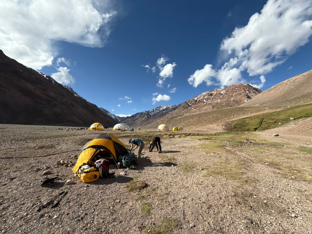
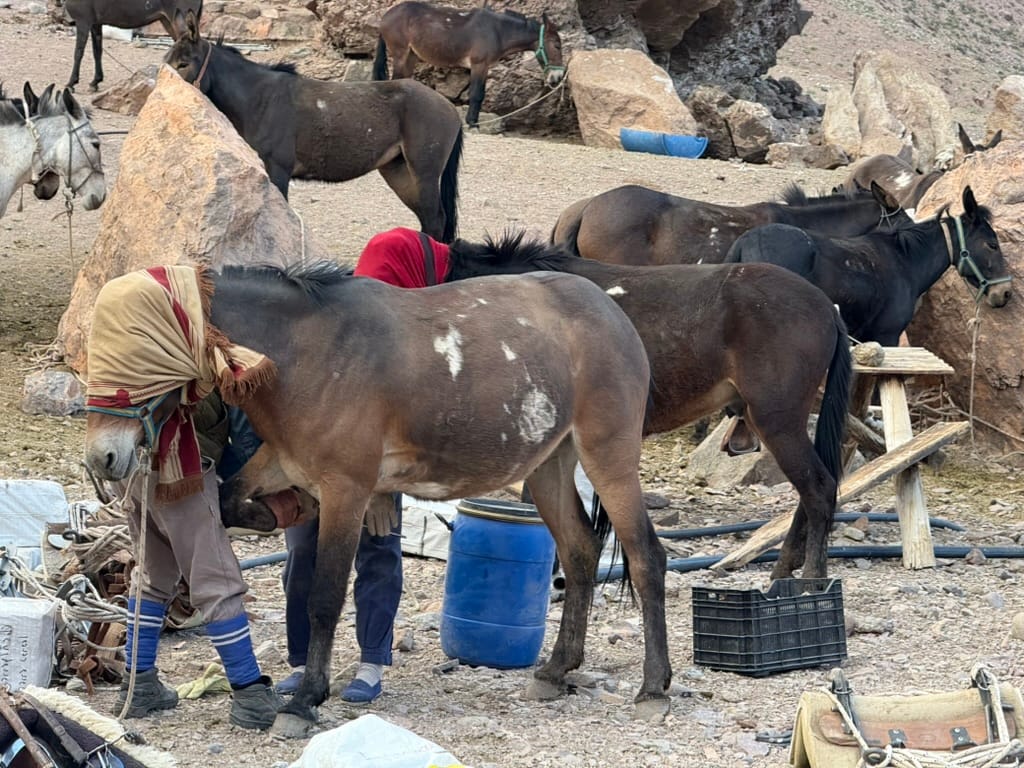
A North Face VE25 tent at Casa de Piedra and an Arriero tending to the mules
We were supposed to get our first view of Aconcagua as we approached Casa de Piedra, but the mountain was completely enveloped in clouds. My guide muttered to himself in Spanish as we moved on that it looked terrible at the summit.
The weather was not a factor that I'd considered when selecting my expedition. As it turns out, expeditions leaving in late November often fail to reach the summit for lack of a weather window. In fact, for much of our trek the winds at the summit were over 100 km/h, and temperatures reportedly dipped down to -47 degrees, a bit beyond where Fahrenheit and Celsius converge - basically like airplane cruising temperatures. I kind of trusted things would work out, but my teammates were glued to the Mountain-Forecast.com app until summit day, praying for a break in the weather, while simultaneously pestering our guides for forecasts (the guides were very good sports about it).
Day 3 – Casa de Piedra to Base Camp
- Starting Altitude = 10,665'
- Ending Altitude = 13,799'
- Net Gain = 3,134'
- Distance = 7.1 miles
The approach to base camp is the first truly challenging day of the expedition. We woke up at 4:30am, and I crawled out of my tent to a stunning view of the Milky Way, which happened to run in the same direction as the Vacas Valley. The mountain ridges on either side of the valley framed the Milky Way and surrounding stars.
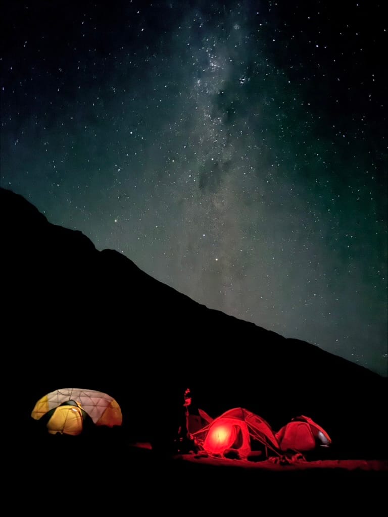
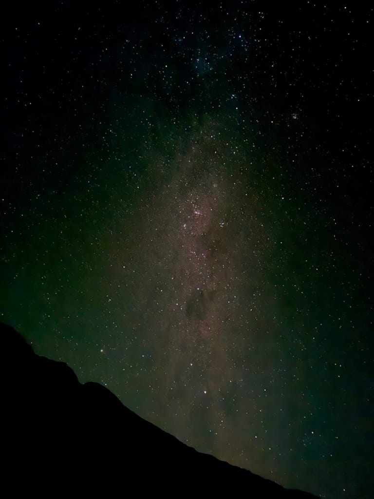
Couple photos of the Milky Way I took with my iPhone before hiking to Base Camp
After taking in the night sky, I went into a minor panic, as I thought I'd lost my ski cap, my headlamp, and the small nalgene I used as a coffee mug. I ultimately found them all before heading out, but it was nerve wracking to be misplacing important gear on top of the stress of just being sick.
About a quarter mile into our hike, we arrived at the East bank of the Vacas River, which we crossed at about about 6am, when the river is relatively calm. As our guides explained, the current picks up throughout the day as the sun melts glacier ice up river.
From what I understand the river looks a bit different season to season, but while we were there, the river braided out into several channels separated by long rocky strips. As a result, instead of single wide crossing, we had four or five smaller crossings to navigate. (Quick tip: Do not bring Crocs for your river crossing. Crocs' holes are big enough to allow rocks in, while small enough that its difficult to shake them out. 😭)
Although I'd been shivering before entering the river, the shock from the frigid water actually caused me to feel warmer, and I felt pretty good once I had my pants and hiking shoes back on on the other side. After the river crossing, we immediately started to climb.
We moved very quickly up about 3,000 feet of net elevation gain before finally arriving at Plaza Argentina (Base Camp) at around 1pm. The flora changed significantly over the course of the day. As we climbed higher, the yellow flowered, thorn bushes (possibly Neneos) found throughout the Vacas Valley dwindled from about six or seven feet tall to just a few inches in height.
A second team that departed from Casa de Piedra when we did arrived at Base Camp at around 5:30pm - a pace that was almost half of ours. I recall feeling pretty bad for them but also thinking that with my cold a pace falling between our two groups would have been welcome. Either way, I was thrilled to finally be at Base Camp and excited for what lay ahead.
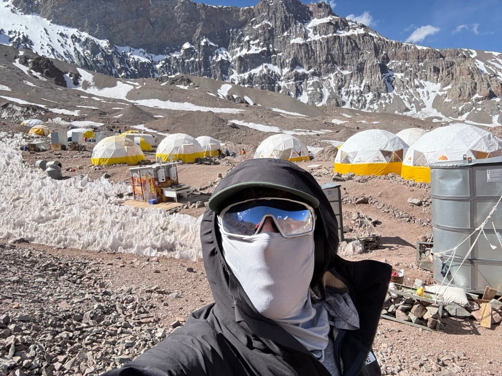
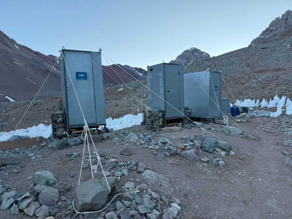
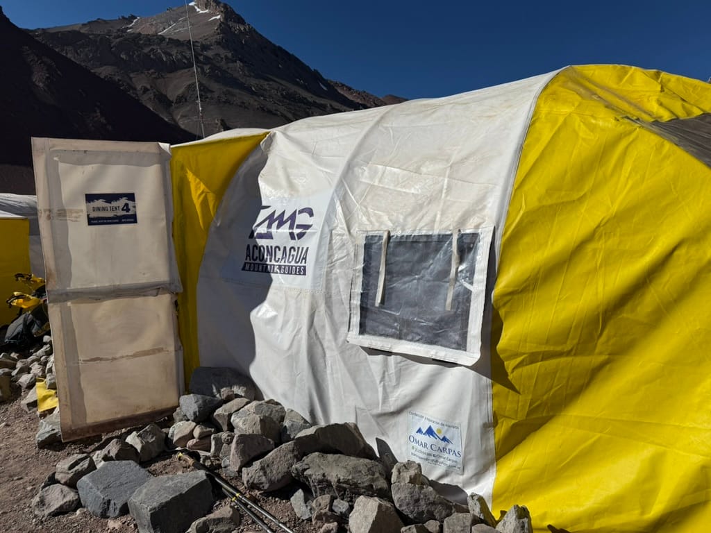
Plaza Argentina (Base Camp for the Vacas Valley/360 Route)